-
Overview
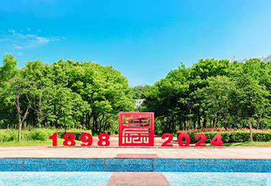
Huazhong Agricultural University (HZAU) is located in the main urban area of Wuhan, Hubei province in central China. It was founded in 1898 during the reign of Emperor Guangxu (1871-1908) of the Qing Dynasty (1644-1911) by Zhang Zhidong,the then-governor of Hubei and Hunan provinces, as the Hubei Farming School in China. [Read More]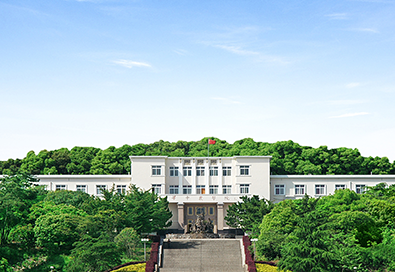
History
1898-1911 During the reign of Emperor Guangxu (1871-1908) of the Qing Dynasty (1644-1911), Zhang Zhidong, the then-governor of Hunan and Hubei provinces, established the Hubei Farming School. [Read More]
Leadership
Leadership of CPC Committee of HZAU [Read More]
Charter
Huazhong Agricultural University(HZAU), formerly known as Hubei Agricultural School, was founded in 1898 and later built into Huazhong Agricultural College in 1952. In 1985, the University got its present name. [Read More]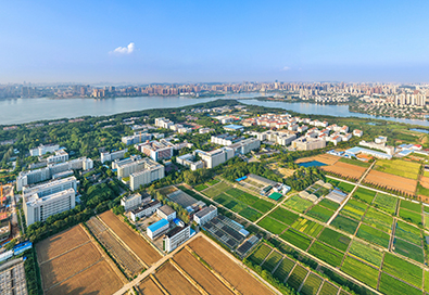
Organization
General Office,Office of Discipline Inspection Commission,Supervision DivisionInspection Work Leading Group Office of CPC HZAU Committee [Read More] -
News
The latest news and significant events at HZAU will be released. [Read More]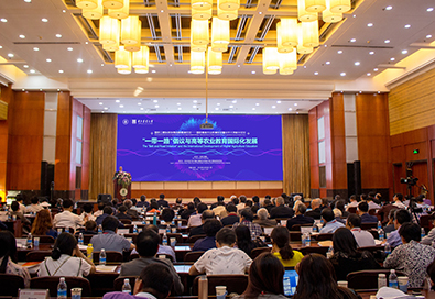
Events
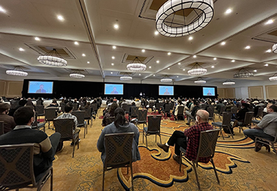
Detailed information about upcoming events at HZAU will be released. This includes the latest previews and schedules for academic lectures, forums, competitions, and more. [Read More]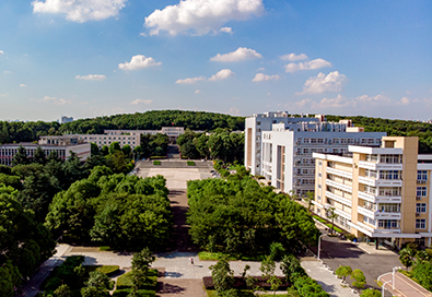
Specials
From in-depth features on groundbreaking research and outstanding faculty achievements to behind-the-scenes looks at major events and student success stories, the Specials column provides a rich, immersive experience. [Read More]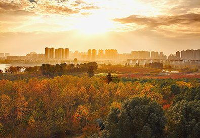
Photos and Videos
This column showcases the highlights of various cultural activities both on and off campus, including traditional festivals, artistic performances, cultural lectures, and student club activities. [Read More] -
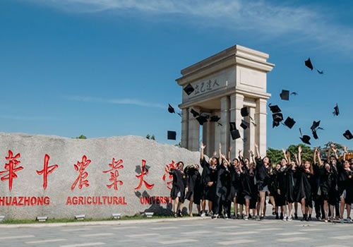
Undergraduates
The school adheres to the principle of fostering integrity and encouraging people committed to nurturing well-rounded talents who meet the demands of technological, economic, and social development. These talents should be characterized by comprehensive development in moral, intellectual, physical, aesthetic, and labor education. [Read More]
Graduates
The university's graduate education dates back to 1953, making it one of the first institutions nationwide authorized to confer doctoral and master's degrees. The university is authorized to grant doctoral degrees in disciplines such as science,engineering, agriculture, and management, with 16 first-level discipline doctoral degree-granting programs and two professional doctoral degree-granting programs (Doctor of Veterinary Medicine and Doctor of Biology and Medicine). [Read More]
International Students
The education of international students in our school can be traced back to 1960. In 2003, it became the first batch of pilot units in China for "high-level experts to train highly educated international students". Adhering to the principle of "giving priority to quality, optimizing structure and developing with characteristics", our school mainly recruits and trains high-level international students in China around the advantageous and characteristic disciplines such as crop science, horticulture,animal husbandry, veterinary medicine, food science and engineering. [Read More]
Continuing Education
The continuing education program at Huazhong Agricultural University began in the early 1950s, initially focusing on short-term training courses for government management departments. In 1960, the university established a correspondence department,marking the beginning of its history in higher agricultural correspondence education. [Read More] -
Research Progress
The column highlights cutting-edge projects, innovative experiments, and significant discoveries made by our dedicated researchers and scholars. [Read More]Discipline Construction
Over the past three decades, HZAU focused on elevating the agricultural related disciplines with advanced bio-scientific technology while advancing the development of biological disciplines out of its strong root of traditional agricultural disciplines. [Read More]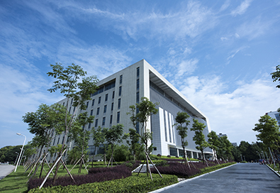
Institutes
HZAU has two national key laboratories, one national-local joint engineering laboratory, four specialized laboratories, and 26 ministerial-level key (engineering) laboratories. [Read More]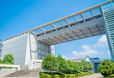
Publications
The Journal Center of the Academy of Science and Technology Development at Huazhong Agricultural University was established in May 2019. [Read More]
Research Cooperation
A relatively stable research collaboration network has been established with over 120 foreign (overseas) research institutions and universities, facilitating substantial international (regional) cooperation in research and exchange. [Read More] -
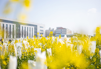
Campus View
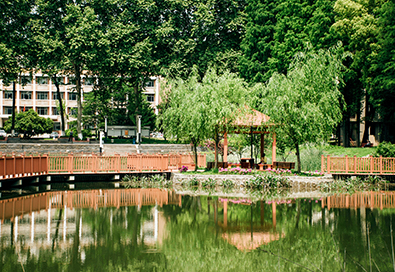
The campus is located in the main urban area of Wuhan, Hubei province. Nestled on Shizishan and surrounded by lakes on three sides,it spans a 5-square-kilometer picturesque campus with 9 kilometers of romantic lakeside, 10 kilometers of forest roads, and 6.6 kilometers of scenic greenways. [Read More]
Student Life
The school boasts extensive facilities for science popularization, sports, and cultural activities, as well as a student activity center. [Read More]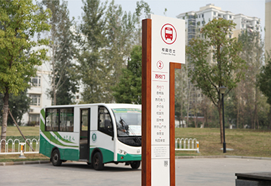
Useful Info
HZAU has a fleet of 15 campus tour vehicles, operating on two routes. These vehicles are managed in accordance with industry standards and relevant regulations to provide convenient intra-campus transportation services for all faculty, staff, and students. [Read More]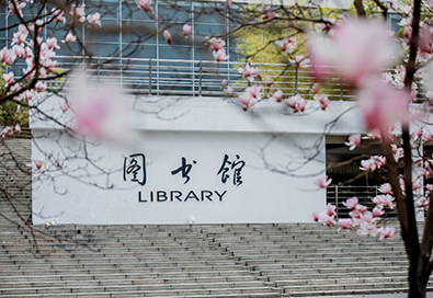
Library
Huazhong Agricultural University Library was established in 1940. It was initially known as the "Hubei Agricultural College Library." [Read More]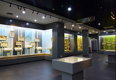
Museum
The Museum of Huazhong Agricultural University is located at the foot of Shizi Mountain in Wuhan. It is a natural science museum that integrates agriculture, scientific research, and popular science functions. [Read More]Alumni
[Read More]
